
Founder
Espérant BASOLUA
CNOA licensed architect No. 1054
Technical coordination, land assessment and synthesis.
Parcelle Safe Agro · Kinshasa
Before investing in agricultural land, check what the documents claim against what the land reveals.
The Agricultural Land Passport brings together rights, occupancy, boundaries, area, soil, water and site risks. Findings are signed by the professionals actually involved.
Pilot phase in Kinshasa and within 100 km. A person replies within 24 business hours.
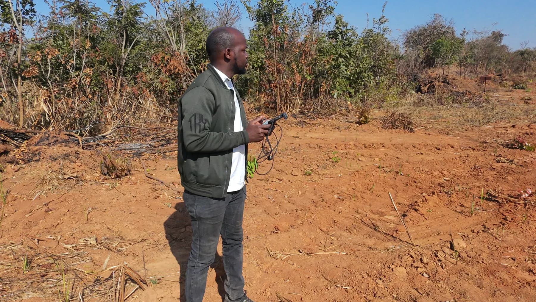
Anonymised real case · N'sele, July 2026
A USD 40,000 purchase was being considered. Document and area checks revealed major discrepancies. The report advised against proceeding in the circumstances found.
Review the sample passport (French)Claimed area / measured area
82,000 m² → 11,730 m²
The survey found less than 15% of the stated area.
Documents, boundaries and occupancy required further checks before any payment.
The earlier check cost USD 219. Today's pilot passport is a separate assignment starting at USD 500.
The passport
Each chapter separates what was verified, what remains a statement and what is missing. The conclusion is presented together with reservations.
Open the complete sample (French)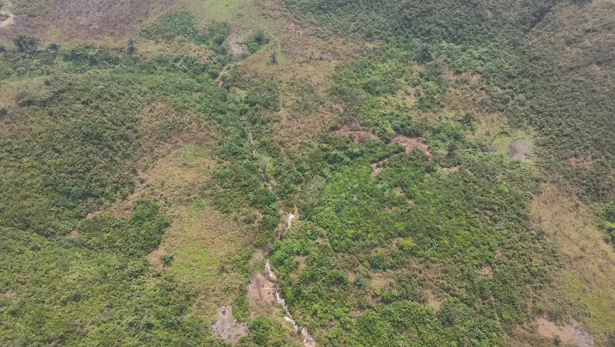
Location and available coordinates; stated area and site access; planned crop or project; origin and date of the information reviewed.
Documents presented by the holder or operator; actual occupancy; local agreements and known history; gaps requiring official verification.
Map and site location; stated, measured, cultivated and usable areas; disputed boundaries, overlaps and access; surveying where agreed.
Planned activity or crop; soil and terrain characteristics; seasonal water availability; access and operating constraints.
Erosion, flooding and water pressure; vegetation cover and areas to preserve; existing land use and possible occupancy disputes.
Areas and access actually available; technical needs such as water and roads; constraints affecting the project; stated outlet or buyer when known.
Verified, missing and conflicting information; identified risks and confidence level; proceed, proceed with conditions or pause; recommended checks.
The passport does not replace an official title, a lending decision or an approved impact assessment. It documents findings and points to official checks that may still be needed.
Our method
Describe the land location, your objective and, if known, the planned agricultural activity.
We compare documents, occupancy statements, geographic information and the checks still needed.
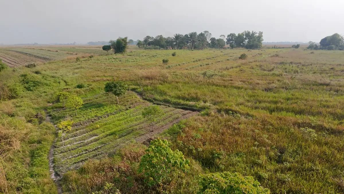
Depending on the situation, it may involve interviews, a site visit, surveying and map analysis.
Areas, findings, agricultural and environmental constraints, risks and next steps are brought together in a structured file.
What you receive
A summary to help you proceed, request further checks or pause the project.
The assignment is defined around the site and project. Professionals sign the sections within their expertise.
Describe my projectThe team
Depending on the assignment, the analysis may involve architecture, surveying, agronomy and law. Experts are paid per assignment.
Founder
CNOA licensed architect No. 1054
Technical coordination, land assessment and synthesis.

Fieldwork
Licensed land surveyor
Site location, boundaries and measured areas.

Agronomy
Agroecology engineer and veterinarian, Kong'Agri
Soil, water, planned crops and agricultural recommendations.

Law
Lawyer at the Court of Appeal
Document review and identification of legal issues.

Your contact
Marketing and sales manager
She receives your request, points you to the right assignment and follows the file until the passport is delivered. Speaks Lingala, Tshiluba, Kikongo, Swahili, French and English.
Assignment formats
The price never depends on the conclusion. We confirm the fee and limits of the assignment before any commitment.
Initial review
An initial review of available information to identify questions before moving forward.
Documents and project objective · Main warning signs · Proposed scope of checks
Tell us about your landUSD 89
Remote review within 72 hours. Deducted from the passport price.
Decision support file
A structured assignment linking land rights, field conditions, the agricultural project and environmental sensitivities.
Documents, parties, occupancy and boundaries · Areas, water and agricultural fit · Risks, recommendations and reasoned assessment
Discuss my agricultural projectUSD 500
Pilot price for up to 5 ha, within 100 km of Kinshasa. Standard reference price: USD 1,200. From 5 to 20 ha: USD 900.
Cooperatives and institutions
An exploratory discussion for multiple plots, a cooperative, investor or institution.
Information needs · Pilot cases or portfolio of plots · Scope and terms agreed together
Discuss a portfolioBy quotation
Scope and terms defined together, without commitment.
Quoted separately: drone photogrammetry, follow-up on regularisation, land beyond 100 km or above 20 ha. Payment in USD by mobile money or Equity BCDC bank transfer.
Assess your land
Three fields are enough to start. We will then discuss the documents, scope and cost with you.
Where? Kinshasa and nearby areas during the pilot; other provinces case by case.
When? A person replies within 24 business hours.
Commitment? None before the scope and price are agreed.
Your details are used only to handle your enquiry. Read our privacy policy (French).
Environmental and social care
We flag visible or documented risks relating to water, soil, existing use and vegetation cover. This is neither environmental certification nor an approved impact assessment.
Who is the pilot for?
Farmers, cooperatives, investors and diaspora members can present land. Financial institutions and technical partners can help define useful information.
Discuss a partnershipScattered documents, contested boundaries and the gap between claimed and usable area need to be resolved before purchase or financing.
of DRC GDP came from agriculture (2021)
of the working population worked in agriculture (2021)
of gross bank credit went to agriculture (2024)
Sources: World Bank, DRC Country Economic Memorandum; Central Bank of Congo, 2024 annual report (PSA calculation).
Parcelle Safe Agro is incubated in the EcoImpact programme at Silikin Village in Kinshasa, with support from the OIF. The solution remains in the field validation phase.
Frequently asked questions
Start by establishing who occupies it and under what claimed right. Review the documents and occupancy history, then check location and boundaries on site and compare the findings with information available from the relevant authorities.
Depending on the situation: a registration certificate or concession contract, local administrative documents, agreements or minutes with the local community, and plans. Check whether the documents, the people presenting them and the land itself match.
They are checked on site with occupants and neighbours and, where needed, through a georeferenced survey. Even an indicative map can expose overlaps or inconsistencies before investment.
Stated area is what the seller or documents claim; measured area is what fieldwork establishes. Usable area may be smaller because of disputes, flood risk or land uses that must be preserved.
It is an assessment file covering location, claimed rights, occupancy, areas, the agricultural project, water and environmental sensitivities. It helps inform a purchase, operating or financing decision.
No. It does not replace a title issued by the competent authority or official legal and administrative checks.
Yes. Verified information on land rights, boundaries and risks can make a file clearer for a lender. The passport does not guarantee financing and does not by itself assess the market, management or cash flow.
We compare site observations, such as slope, soil and drainage, with usable map and satellite data. Some situations require further specialist work.
The planned activity is compared with soil, water, terrain, access, current use and environmental constraints. Further tests or laboratory analysis may be recommended.
No. It can flag environmental and social sensitivities, but is neither an approved impact assessment nor an environmental certification.
The pilot starts in Kinshasa and nearby areas. Assignments in other provinces may be assessed case by case, depending on the request and available partners.
Yes. Cooperatives are a priority group, especially where multiple plots and uneven documentation need to be organised.
The remote pre-assessment costs USD 89 and is deducted from the passport. The pilot passport is USD 500 for up to 5 ha within 100 km of Kinshasa; from 5 to 20 ha it is USD 900. The standard reference price is USD 1,200. Larger or more distant assignments and drone photogrammetry are quoted separately.
Yes. A financial institution may join an exploratory interview or share its information needs without a commercial commitment or formal partnership.
Present your project remotely by WhatsApp or email. We review available documents and arrange fieldwork, then provide a documented summary with photos and geographic coordinates.
Parcelle Safe Agro
Describe your land or project. We will tell you honestly what can be checked today.
Explore further
+243 82 537 15 41